USDA Hardiness Map
Use your location as a starting point.
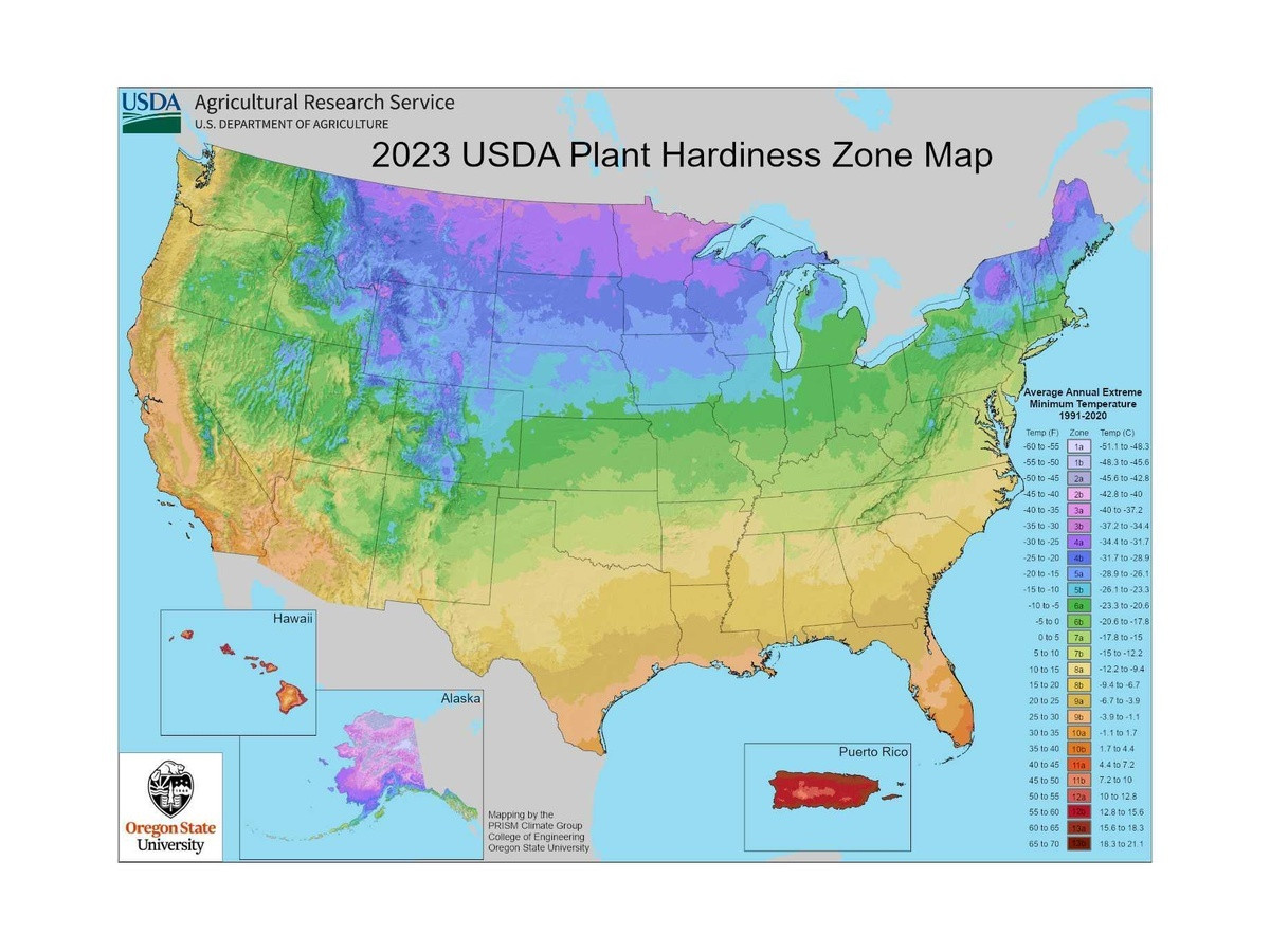
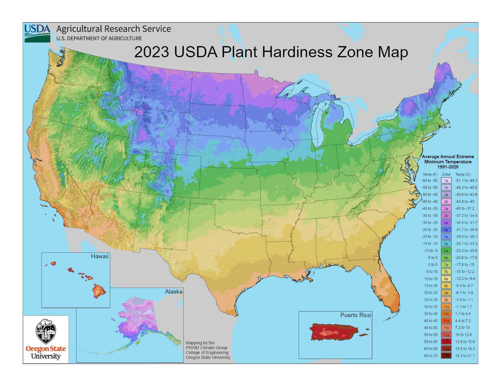
The USDA Hardiness Zone Map is based on average annual extreme minimum winter temperatures and provides growers with a helpful geographic reference when planning for both annual and perennial crops.
Use the USDA's interactive map to search your location and view detailed zone information.
View Interactive Map on USDA.gov →
Start Here
Locate your zone.
Search your location on the USDA interactive map to identify your current hardiness zone.
Plan Your Growing
Use it as a reference.
Your zone can provide useful context when planning and selecting both annual and perennial crops for your location.
Keep In Mind
It is one piece of the puzzle.
Hardiness zones are one growing reference. Local weather, soil, moisture, planting dates, and other growing conditions matter too.